Description: Showing the percentage of cows per state that were pure bred dairy cows in 1920.
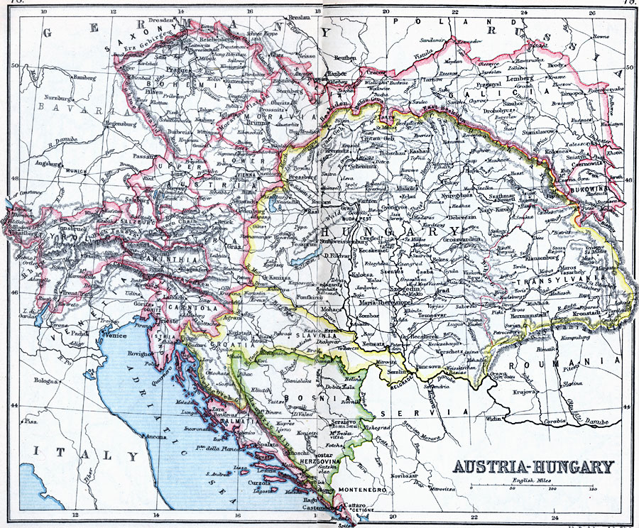
Place Names: Austria-Hungary, Bohemia, �Bosnia, �Carinthia, �Carniola, �Croatia, �Dalmatia, �Moravia, �Salzburg, �Slovenia, �Styria, �Transylvania, �Tyrol, �Vienn
ISO Topic Categories: inlandWaters,
location,
oceans
Keywords: Austria-Hungary, physical, �physical features, �topographical, �political, �country borders, topographical,
physical features, country borders, inlandWaters,
location,
oceans, Unknown, 1910
Source: J.G. Bartholomew, LLD, A Literary & Historical Atlas of Europe (New York, New York: E.P. Dutton & Co., Ltd. , 1910) 78-79
Map Credit: Courtesy the private collection of Roy Winkelman |
|