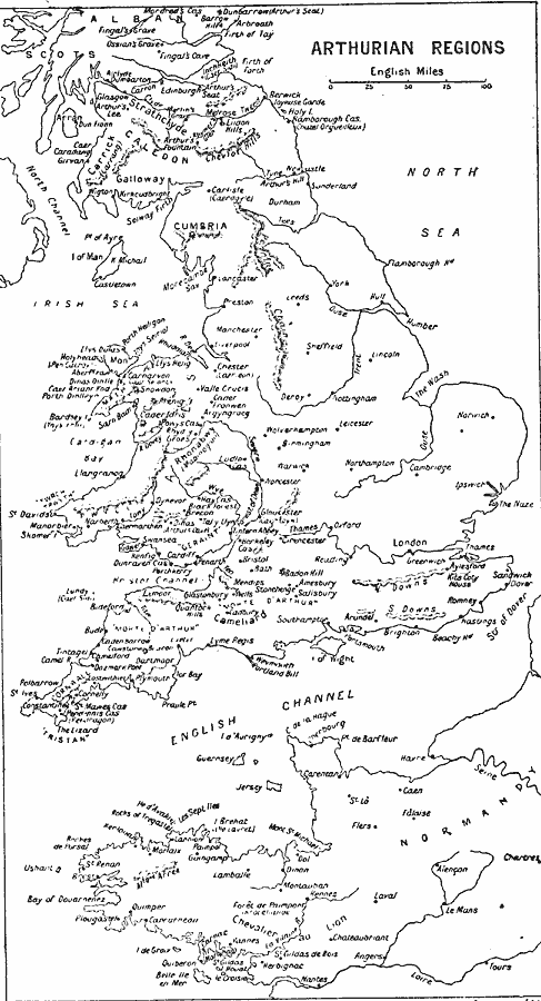
Description: A map showing the regions connected with the time of King Arthur, from "Idylls of the King," by Lord Alfred Tennyson.
Place Names: Western Europe, Cumbria, �England, �London, �Normandy,
ISO Topic Categories: location
Keywords: Arthurian Regions, historical, kLiterature, location, Unknown, AD 6th Century
Source: J.G. Bartholomew, LLD, A Literary & Historical Atlas of Europe (New York, NY: E.P. Dutton & Co., Ltd. , 1910) 132
Map Credit: Courtesy the private collection of Roy Winkelman |
|