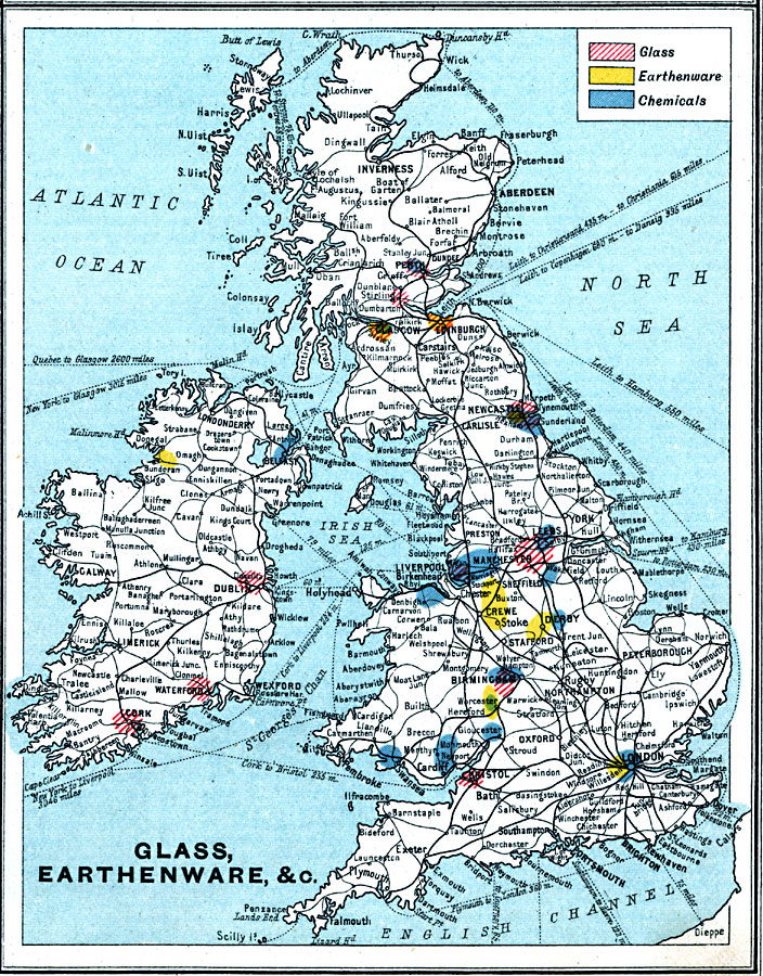
Description: A map from 1915 showing the principal glass, earthenware, and chemical districts throughout the British Isles. The map is keyed to the show areas of glassworks, earthenware manufacturing, and chemicals production. The map shows principal cities and ports, railroads, steamship and ferry routes, rivers, and coastal features.
Place Names: British Isles, Europe, �United Kingdo
ISO Topic Categories: inlandWaters,
oceans,
location,
boundaries,
economy
Keywords: British Isles – Glass, Earthenware, and Chemicals, physical, �political, �borders, �boundaries,�statistical, �industries, �industry, �glass, �earthware, �physical features, country borders, industry, inlandWaters,
oceans,
location,
boundaries,
economy, Unknown, 1915
Source: J.G. Bartholomew, A School Economic Atlas (London, England: Oxford University Press, 1915) 25
Map Credit: Courtesy the private collection of Roy Winkelman |
|