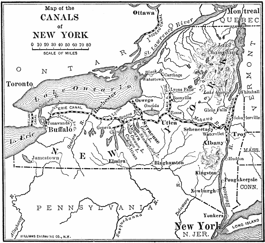
Description: A map from 1910 showing the principalhe canals of New York.
Place Names: New York, Utica, �Albany, �Kingston, �New York City, �Buffalo, �Syracus
ISO Topic Categories: transportation,
oceans,
inlandWaters,
location,
boundaries
Keywords: Canals of New York, physical, �transportation, �political, physical features, major political subdivisions, water routes, transportation,
oceans,
inlandWaters,
location,
boundaries, Unknown, 1910
Source: Ralph S. Tarr, B.S., F.G.S.A. and Frank M. McMurry, Ph.D., New Geographies 2nd ed (New York, NY: The Macmillan Company, 1910) 60
Map Credit: Courtesy the private collection of Roy Winkelman |
|