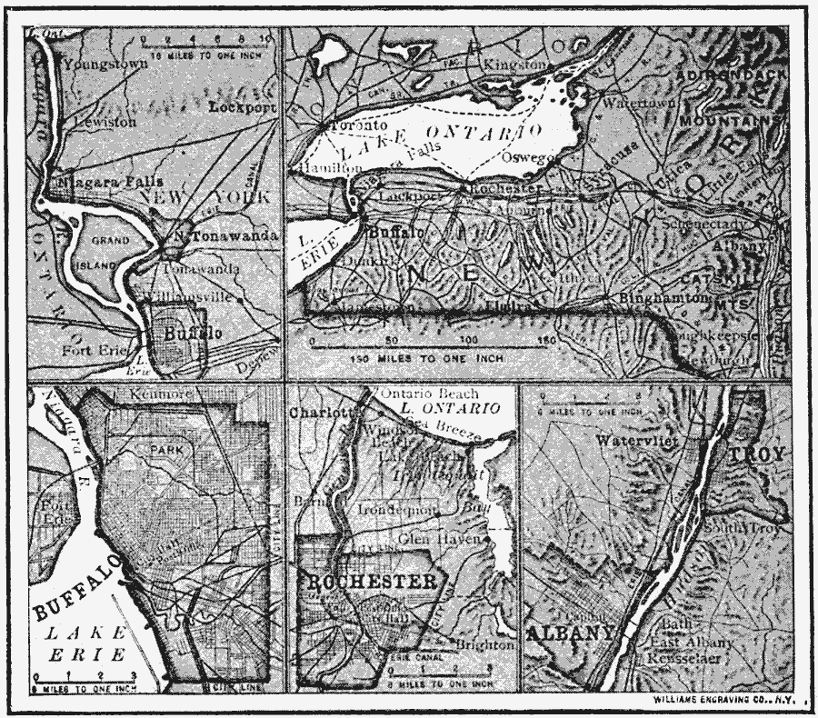
Description: A series of maps from 1910 showing the overland waterways of New York, including the river route between Lake Erie and Lake Ontario near Buffalo and Niagara Falls, the route of the Erie Canal, the Hudson River between Troy and Albany, and details of Buffalo and Rochester.
Place Names: New York, Buffalo, �Rochester, �Albany, �Utic
ISO Topic Categories: location,
inlandWaters,
boundaries
Keywords: Buffalo, Rochester, and Albany, physical, �political, physical features, local jurisdictions, location,
inlandWaters,
boundaries, Unknown, 1910
Source: Ralph S. Tarr, B.S., F.G.S.A. and Frank M. McMurry, Ph.D., New Geographies 2nd ed (New York, NY: The Macmillan Company, 1910) 64
Map Credit: Courtesy the private collection of Roy Winkelman |
|