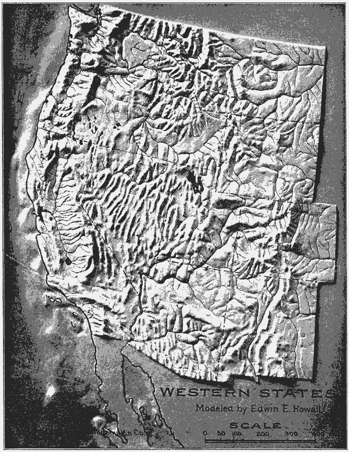
Description: A relief of the Western United States.
Place Names: Western States, West Coast, �Rocky Mountain Region, �Rocky Mountains, �Washington State, �Pacific States, �Californi
ISO Topic Categories: boundaries,
inlandWaters,
location,
oceans
Keywords: Relief of the Western States, physical, kRelief, physical features, boundaries,
inlandWaters,
location,
oceans, Unknown, 1910
Source: Ralph S. Tarr, B.S., F.G.S.A. and Frank M. McMurry, Ph.D., New Geographies 2nd ed (New York, NY: The Macmillan Company, 1910) 118
Map Credit: Courtesy the private collection of Roy Winkelman |
|