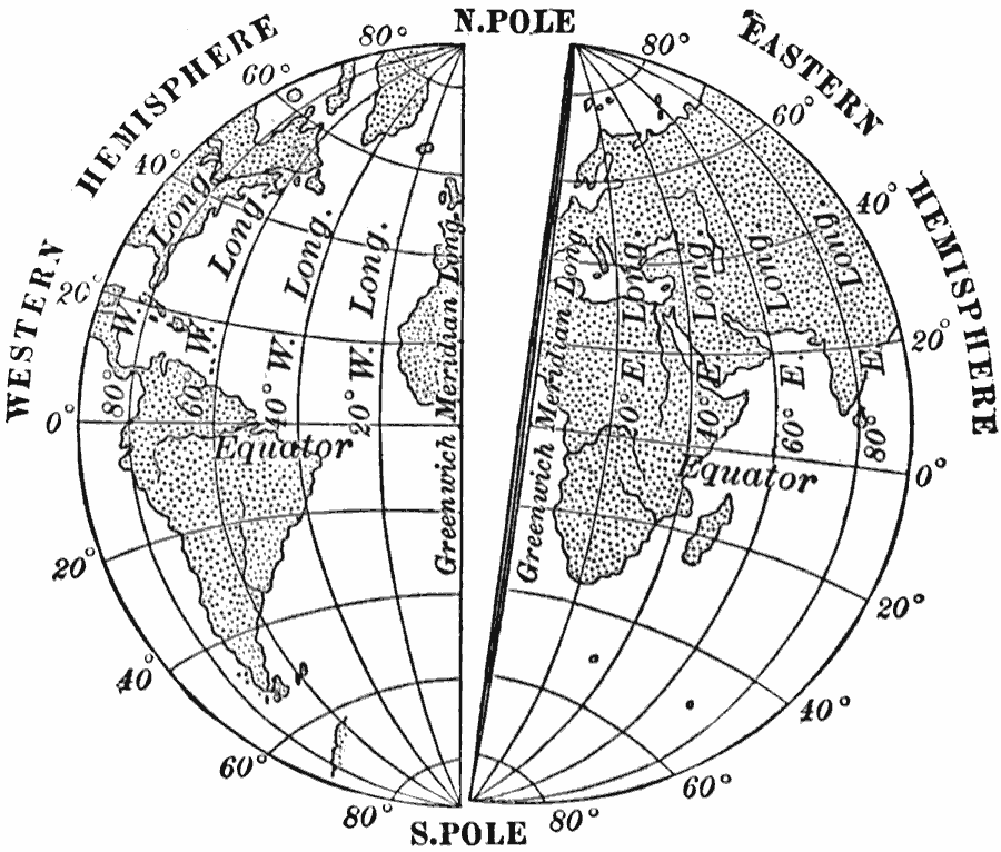
Description: A map from 1910 showing the earth cut in halves along the Greenwich (Prime) meridian, with the meridians from the Prime east and west to 90°. The meridian 20 is usually considered the dividing line between the eastern and western hemispheres.
Place Names: Regional Miscellaneous, Asia, �Africa, �North America, �South America, �Europ
ISO Topic Categories: physical
Keywords: East and West Hemispheres, physical, physical features, physical, Unknown, 1910
Source: Ralph S. Tarr, B.S., F.G.S.A. and Frank M. McMurry, Ph.D., New Geographies 2nd ed (New York, NY: The Macmillan Company, 1910) 203
Map Credit: Courtesy the private collection of Roy Winkelman |
|