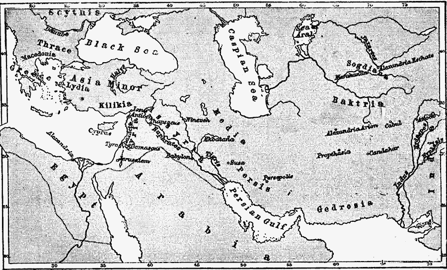
Description: A map of the Achaemenid Persian Empire and Greece, used to locate important sites in Greek history, including the conquest of Alexander the Great (356–323 BC). The map shows the territories of Scythis (Scythia), Thrace, Macedonia, Lydia, Kilikia (Cilicia), Phoenicia, Syria, Assyria, Egypt, Arabia, Media, Persis, Gedrosia, Baktria, Sogdiana, and the western frontier of India along the Indus River. Cities shown include Issus, Antioch, Tyre, Damascus, Jerusalem, Alexandria (Egypt), Thapsacus, Babylon, Nineveh, Ekbatana, Susa, Persepolis, Maracanda, Alexandria Eschate, Alexandria Arion, Cabul, Attock, Propthasia, and Candahar. The map shows the eastern Mediterranean Sea, Black Sea, Caspian Sea, Sea of Aral, Red Sea, Persian Gulf, and the rivers Danube, Halys, Nile, Euphrates, Tigris, Jaxartes, Hyphasis (Beas), and the Indus.
Place Names: Regional Miscellaneous, Arabia, �Asia, �Assyria, �Baktria, �Black Sea, �Egypt, �Gedrosia, �Greece, �Kilikia, �Lydia, �Macedonia, �Persian Gulf, �Scythia, �Thrac
ISO Topic Categories: borders, �historical, kWorldMedSea, kWorldAfroAsia, kWorldEurasia
Keywords: Persian Empire and Greece at the Time of Alexander the Great, borders, �historical, borders, �historical, kWorldMedSea, kWorldAfroAsia, kWorldEurasia, Unknown, 356–323 BC
Source: C. A. Fyffe , History of Greece (New York, New York: D. Appleton and Company, 1876)
Map Credit: Courtesy the private collection of Roy Winkelman |
|