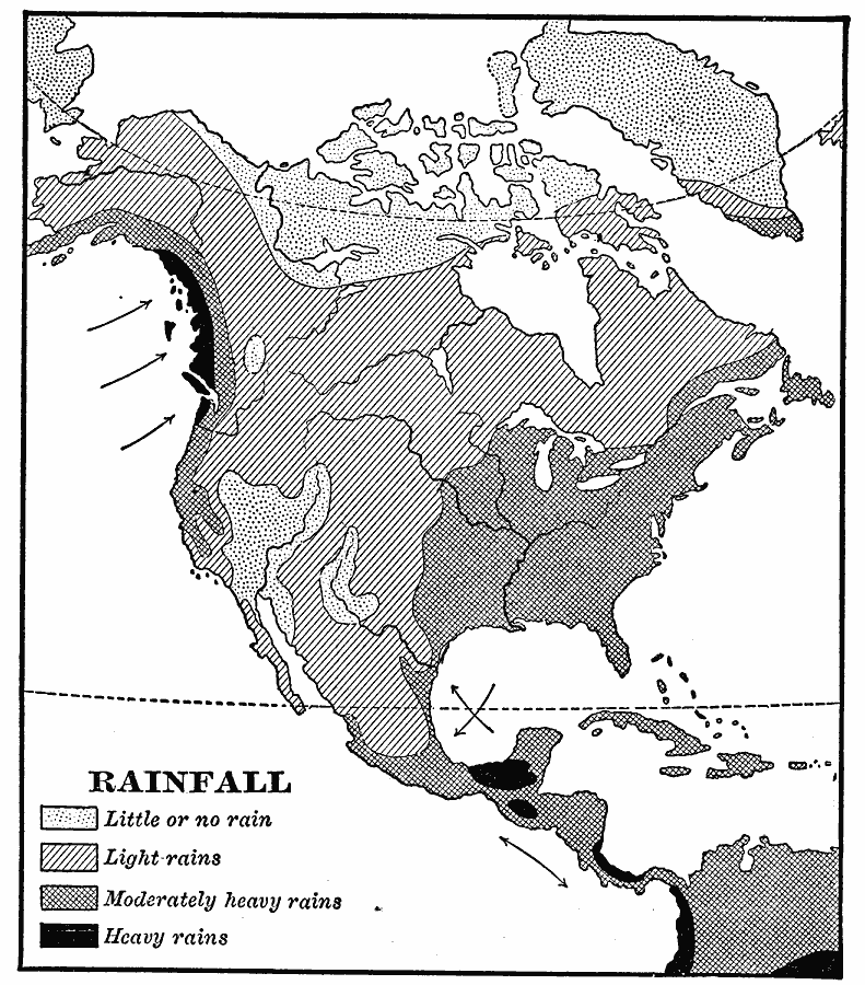
Description: A map from 1901 of North America, Central America, Greenland, and the Caribbean to Puerto Rico showing the general distribution of rainfall in the region. The map shows areas of little or no rainfall to areas of heavy rainfall. The map also shows the direction of prevailing trade winds indicating their effect on rainfall distribution.
Place Names: A Complete Map of North America, Bahamas, �Canada, �Cuba, �Mexico, �United State
ISO Topic Categories: climatologyMeteorologyAtmosphere,
oceans,
inlandWaters
Keywords: North American Rainfall, physical, �meteorological, kPrecipitation, physical features, climate,
rainfall, climatologyMeteorologyAtmosphere,
oceans,
inlandWaters, Unknown, 1901
Source: Jacques W. Redway, Natural Advanced Geography (New York, NY: American Book Company, 1901) 46
Map Credit: Courtesy the private collection of Roy Winkelman |
|