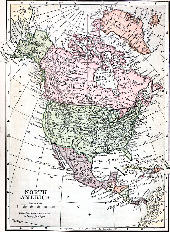
Description: A map from 1909 of North America and Central America, showing national borders at the time, major cities, railroads, mountain systems, lakes, rivers, and coastal features.
Place Names: A Complete Map of North America, Bahamas, �Canada, �Cuba, �Mexico, �United State
ISO Topic Categories: oceans,
location,
inlandWaters
Keywords: North America, country borders, �political, � country borders, oceans,
location,
inlandWaters, Unknown, 1909
Source: C. S. Hammond, Hammond's Handy Atlas of the World (New York, NY: C. S. Hammond & Company, 1911) 8
Map Credit: Courtesy the private collection of Roy Winkelman |
|