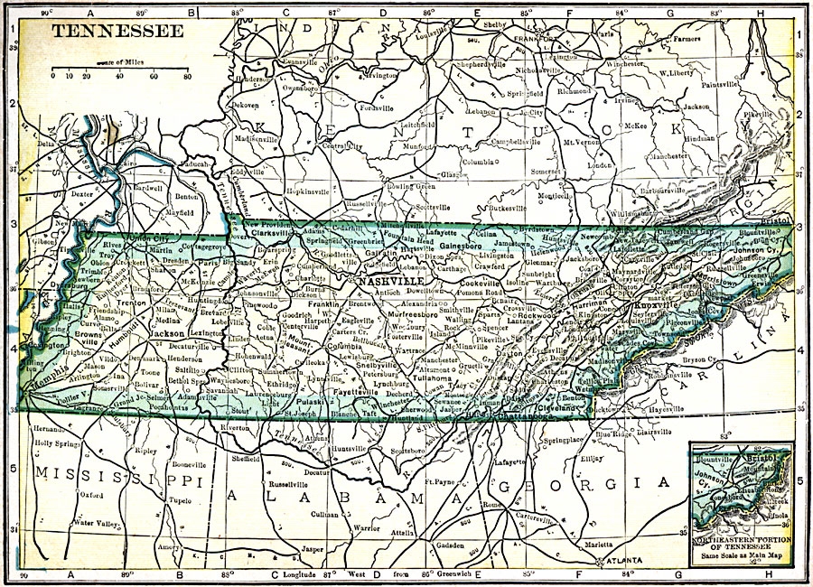
Description: A map from 1909 of Tennessee showing the capital Nashville, principal cities and towns, railroads, mountains, and rivers.
Place Names: Tennessee, Fayetteville, �Johnson City, �Knoxville, �Memphis, �Murfreesboro, �Nashville, �Tennessee,
ISO Topic Categories: oceans,
location,
inlandWaters
Keywords: Tennessee, local jurisdictions, �political, local jurisdictions, oceans,
location,
inlandWaters, Unknown, 1909
Source: C. S. Hammond, Hammond's Handy Atlas of the World (New York, NY: C. S. Hammond & Company, 1911) 38
Map Credit: Courtesy the private collection of Roy Winkelman |
|