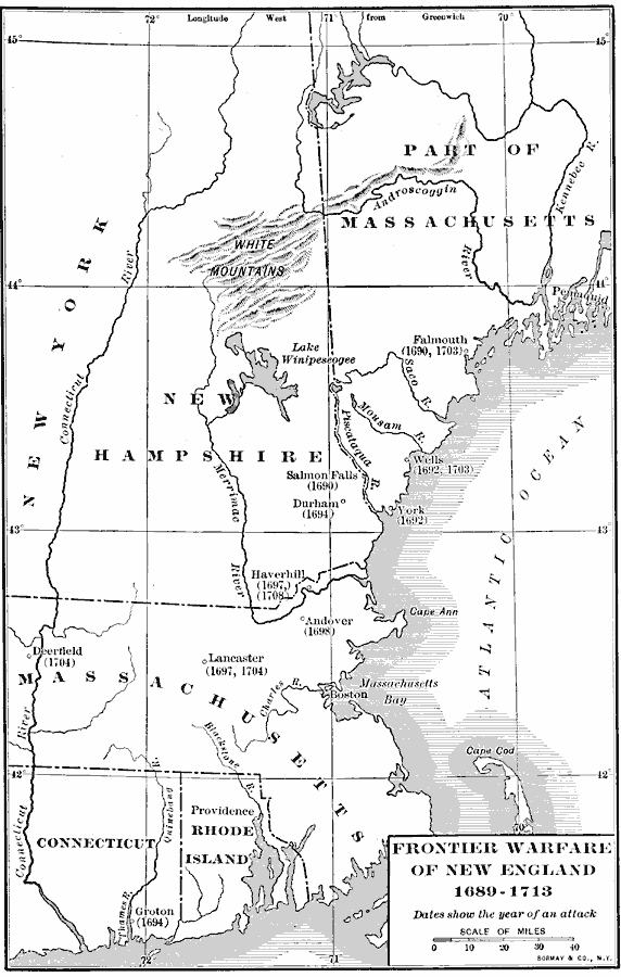
Description: The frontier warfare in New England, from 1689 to 1713.
Place Names: New England States, Boston, �Providence, �New Englan
ISO Topic Categories: intelligenceMilitary,
boundaries,
location,
oceans,
inlandWaters
Keywords: Frontier Warfare of New England, physical, �political, �historical, physical features, major political subdivisions, other military, intelligenceMilitary,
boundaries,
location,
oceans,
inlandWaters, Unknown, 1689–1713
Source: Albert Bushnell Hart, LL.D., The American Nation Vol 6 (New York, NY: Harper and Brothers, 1906) 156
Map Credit: Courtesy the private collection of Roy Winkelman |
|