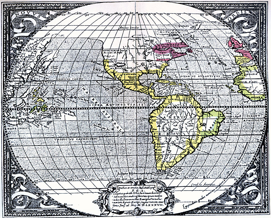
Description: A facsimile of a map of the New World in 1587 showing the territorial claims of Spain, Portugal, Britain, and France at the time (with dates of claims).
Place Names: Western Hemisphere, Africa, �Asia, �Europe, �North America, �South Americ
ISO Topic Categories: location,
inlandWaters
Keywords: The New World, physical, kEarlyMapsFacsimile, physical features, location,
inlandWaters, Unknown, 1587
Source: Albert Bushnell Hart, LL.D., The American Nation Vol 3 (New York, NY: Harper and Brothers, 1906) 284
Map Credit: Courtesy the private collection of Roy Winkelman |
|