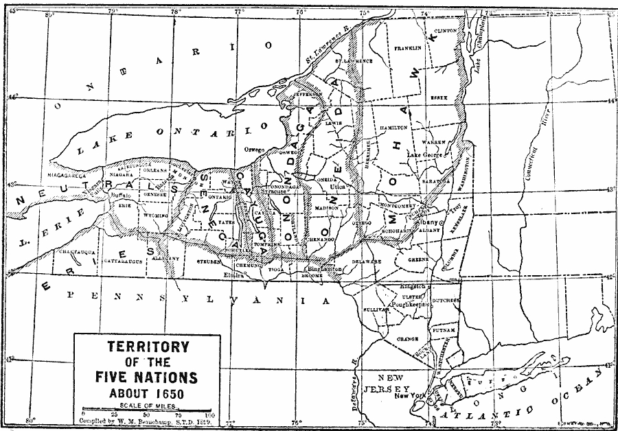
Description: A map of upper New York showing the territory of the Five Nations (Mohawk, Oneida, Onondaga, Cayuga, and Seneca) around 1650, with the territory of the Neutrals to the west.
Place Names: New York, New York City, �Oswego, �Albany, �Syracus
ISO Topic Categories: boundaries,
inlandWaters,
location,
oceans
Keywords: Territory of the Five Nations, physical, �political, kNativeAmerican, physical features, major political subdivisions, boundaries,
inlandWaters,
location,
oceans, Unknown, 1650
Source: Albert Bushnell Hart, LL.D., The American Nation Vol 2 (New York, NY: Harper and Brothers, 1906) 155
Map Credit: Courtesy the private collection of Roy Winkelman |
|