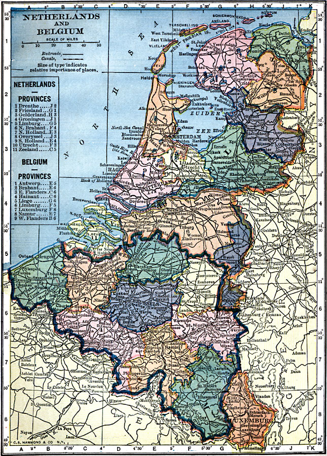
Description: A map from 1909 of the Netherlands, Belgium, and Luxemburg showing province boundaries, major cities and ports, railroads, canals, rivers and hilly areas of the region. This map has a reference key to the provinces of the Netherlands and Belgium.
Place Names: Low Countries, Amsterdam, �Antwerp, �Belgium, �Brussels, �Netherlands, �Rotterdam, Luxemburg
ISO Topic Categories: oceans,
location,
inlandWaters
Keywords: Netherlands and Belgium, local jurisdictions, �railroads, �political, �transportation, local jurisdictions, railroads, oceans,
location,
inlandWaters, Unknown, 1909
Source: C. S. Hammond, Hammond's Handy Atlas of the World (New York, NY: C. S. Hammond & Company, 1911) 81
Map Credit: Courtesy the private collection of Roy Winkelman |
|