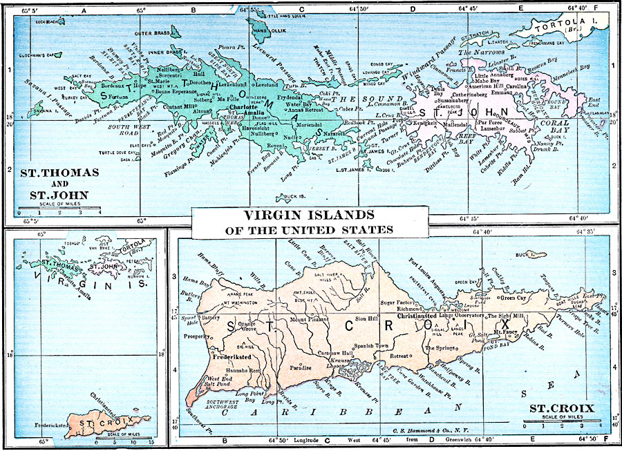
Description: A map from 1919 of the United States Virgin Islands.
Place Names: Virgin Islands, Charlotte Amalie, �Christiansted,�Christiansted
ISO Topic Categories: boundaries,
inlandWaters,
location,
oceans
Keywords: Virgin Islands of the United States, physical, kCaribbean, physical features, boundaries,
inlandWaters,
location,
oceans, Unknown, 1919
Source: Charles Morris, Winston's Cumulative Encyclopedia Vol 10 (Philadelphia, PA: The John C. Winston Company, 1919) tab 16
Map Credit: Courtesy the private collection of Roy Winkelman |
|