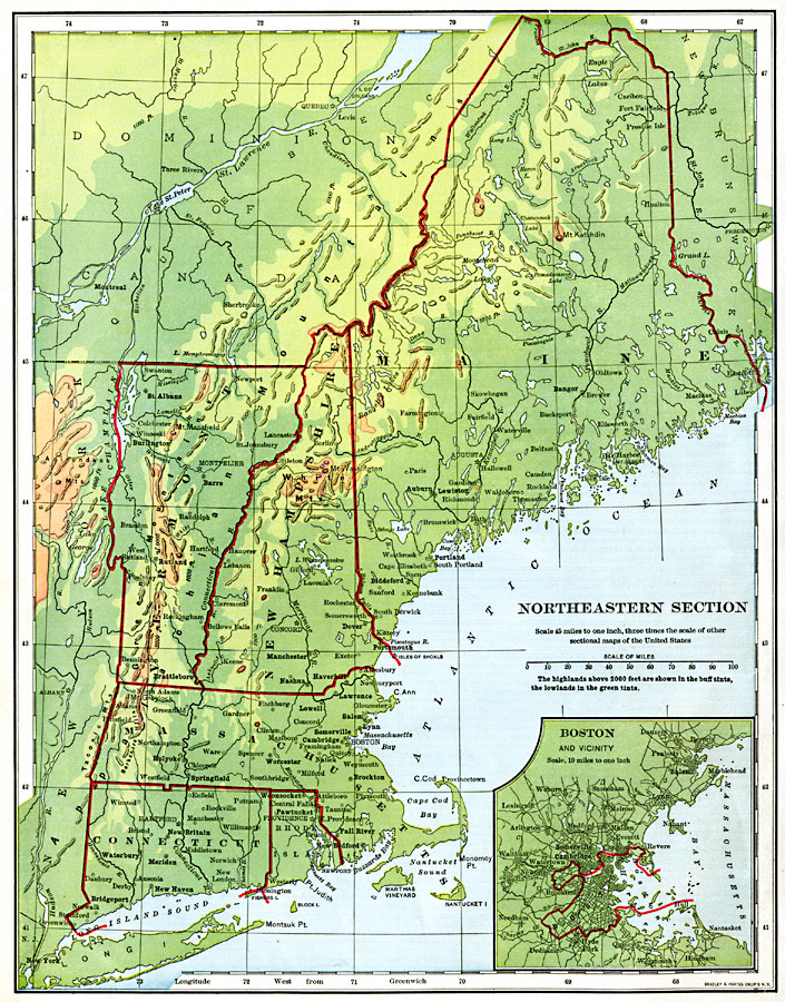
Description: The northeastern section of the United States.
Place Names: New England States, Connecticut, �Rhode Island, �Massachusetts, �Vermont, �New Hampshire, �Maine, �New York, �Fort Kent, �Orono, �Bangor, �Lewiston, �Auburn, �Salem, �Lynn, �Portsmouth, �Manchester, �Nashua, �Lawrence, �Somerville, �Cambridge, �Boston, �Fall River, �New B
ISO Topic Categories: boundaries,
inlandWaters,
location,
oceans
Keywords: The Northeastern United States, physical, �political, physical features, country borders,
major political subdivisions, boundaries,
inlandWaters,
location,
oceans, Unknown, 1901
Source: Jacques W. Redway, Natural Advanced Geography (New York, NY: American Book Company, 1901) 62
Map Credit: Courtesy the private collection of Roy Winkelman |
|