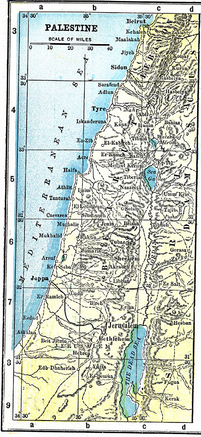
Description: A map from 1903 of Palestine at the time, showing major cities, towns, and ports, roads and railways, terrain, rivers, lakes, and coastal features.
Place Names: Palestine, Tyre, �Beirut, �Joppa, �Jerusalem, �Bethlehem, �Shechem, �Hebre
ISO Topic Categories: inlandWaters,
location,
oceans,
transportation
Keywords: Palestine, physical, �political, �transportation, physical features, roads, inlandWaters,
location,
oceans,
transportation, Unknown, 1903
Source: W. R. Hearst, American Almanac, Year-Book Cyclopedia and Atlas, Second Edition (New York, NY: New York American and Journal, 1903) 241
Map Credit: Courtesy the private collection of Roy Winkelman |
|