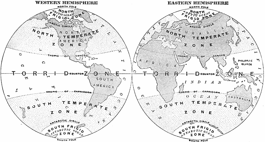
Description: A Map of the Western and Eastern hemispheres from 1897 showing the frigid, temperate, and torrid zones of the earth based on latitudes north of the Arctic and south of the Antarctic circles (Frigid zones), to the tropics of Cancer and Capricorn (Temperate zones), and from the Equator to the tropics (Torrid Zone).
Place Names: A Complete Map of Globes and Multi-continent, Africa, �Antarctica, �Asia, �Australia, �Europe, �North America, �South Americ
ISO Topic Categories: location,
oceans,
inlandWaters
Keywords: Western Hemisphere, Eastern Hemisphere, climate, �meteorological, temperature, location,
oceans,
inlandWaters, Unknown, 1897
Source: Jacques W. Redway & Russell Hinman, Natural Introductory Geography (New York, NY: American Book Company, 1897) 18
Map Credit: Courtesy the private collection of Roy Winkelman |
|