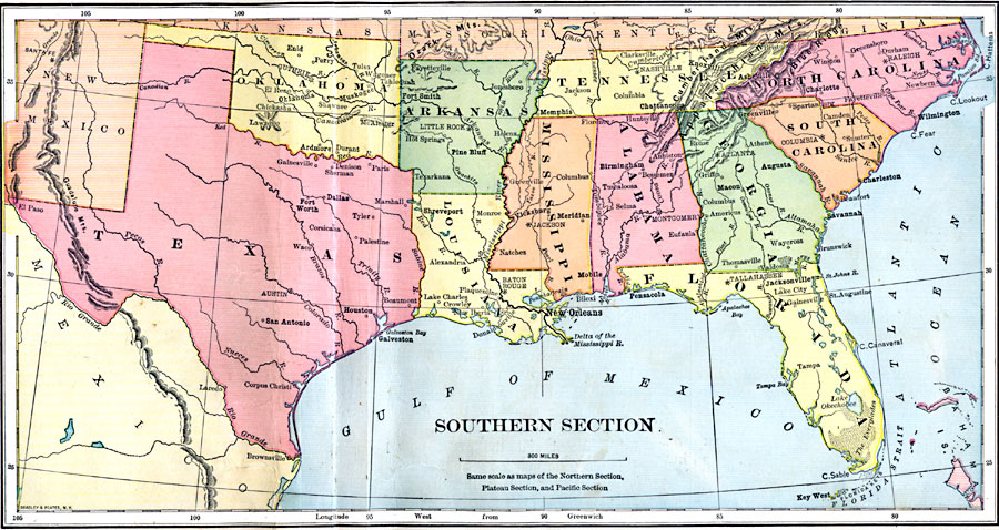
Description: The southern United States.
Place Names: Southern States, Alabama, �Arkansas, �Florida, �Georgia, �Louisiana, �Mississippi, �New Mexico, �North Carolina, �Oklahoma, �South Carolina, �Tennessee, �Texas, �Southern United States, �The Sout
ISO Topic Categories: location,
oceans,
inlandWaters
Keywords: Southern Section, physical, physical features,
topographical, location,
oceans,
inlandWaters, Unknown, 1897
Source: Jacques W. Redway & Russell Hinman, Natural Introductory Geography (New York, NY: American Book Company, 1897) 56-57
Map Credit: Courtesy the private collection of Roy Winkelman |
|