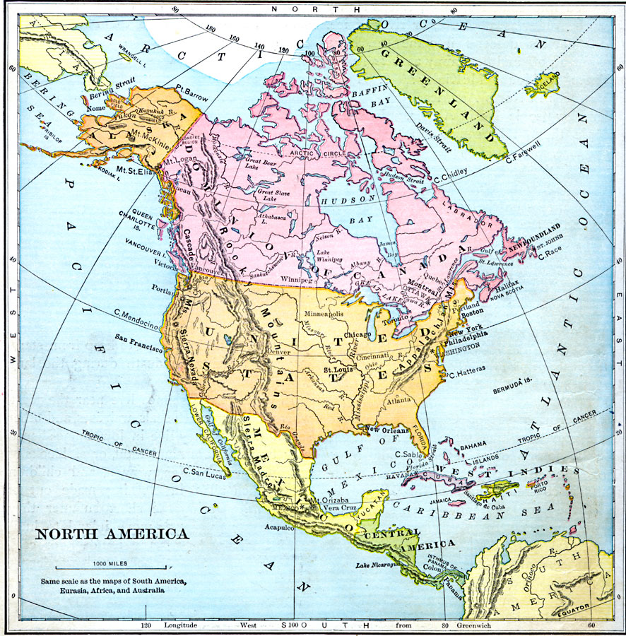
Description: A map from 1897 of North America, Central America, and the Caribbean showing national boundaries, major cities, terrain and coastal features, including mountain systems, basins, plains, lakes, and rivers.
Place Names: A Complete Map of North America, Bahamas, �Canada, �Cuba, �Mexico, �United State
ISO Topic Categories: location,
oceans,
inlandWaters
Keywords: North America, country borders, �physical, �topographical, physical features,
topographical, country borders, location,
oceans,
inlandWaters, Unknown, 1897
Source: Jacques W. Redway & Russell Hinman, Natural Introductory Geography (New York, NY: American Book Company, 1897) 68
Map Credit: Courtesy the private collection of Roy Winkelman |
|