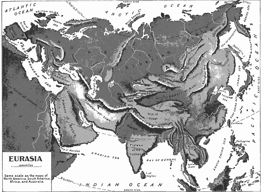
Description: A relief map of Eurasia from 1897 showing the mountain systems, plateaus, deserts, coastal features, seas, lakes, and rivers of the region.
Place Names: Regional EurAsia, Argentina, �Bolivia, �Brazil, �Chile, �Columbia, �Ecuador, �Paraguay, �Peru, �Uraguay, �Venezuel
ISO Topic Categories: country borders, �physical, �topographical, �political, kWorldEurasia
Keywords: Relief Map of Eurasia, country borders, �physical, �topographical, �political, physical features,
topographical, country borders, country borders, �physical, �topographical, �political, kWorldEurasia, Unknown, 1897
Source: Jacques W. Redway & Russell Hinman, Natural Introductory Geography (New York, NY: American Book Company, 1897) 86
Map Credit: Courtesy the private collection of Roy Winkelman |
|