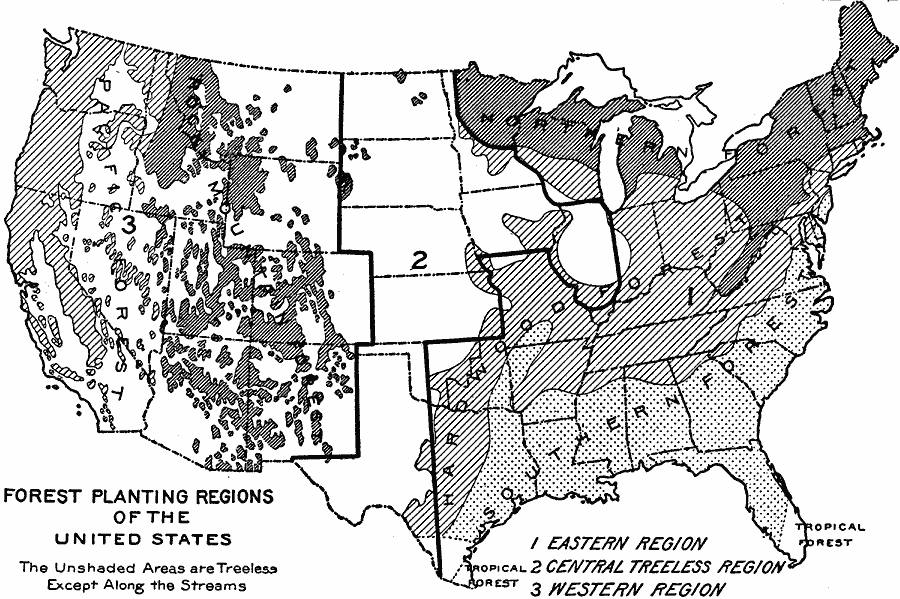
Description: A map from 19169 of the United States showing the forest planting regions of the United States. The un–shaded areas are treeless except along the streams (riparian).
Place Names: Forestry,
ISO Topic Categories: boundaries,
biota,
location
Keywords: Forest Planting Regions in the United States, statistical, �political, major political subdivisions, vegetation, boundaries,
biota,
location, Unknown, 1919
Source: Charles Morris, Winston's Cumulative Encyclopedia Vol 4 (Philadelphia, PA: The John C. Winston Company, 1919) tab 15
Map Credit: Courtesy the private collection of Roy Winkelman |
|