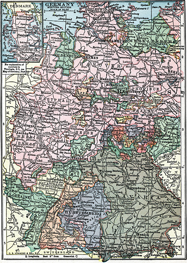
Description: A map showing the western section of Germany and its subdivisions in 1919. The map is color–coded to show the individual states, and shows cities, railroads, and rivers of the country, and includes an inset map of Schleswig–Holstein.
Place Names: Germany, Berlin, �Hannover, �Frankfurt am Main, �Nuremberg, �Munich, �Cologne, �Hamburg, �Mannhei
ISO Topic Categories: transportation,
inlandWaters,
location,
oceans,
boundaries
Keywords: Germany, physical, �political, �transportation, physical features, country borders,
major political subdivisions, railroads, transportation,
inlandWaters,
location,
oceans,
boundaries, Unknown, 1919
Source: Charles Morris, Winston's Cumulative Encyclopedia Vol 4 (Philadelphia, PA: The John C. Winston Company, 1919) tab 18
Map Credit: Courtesy the private collection of Roy Winkelman |
|