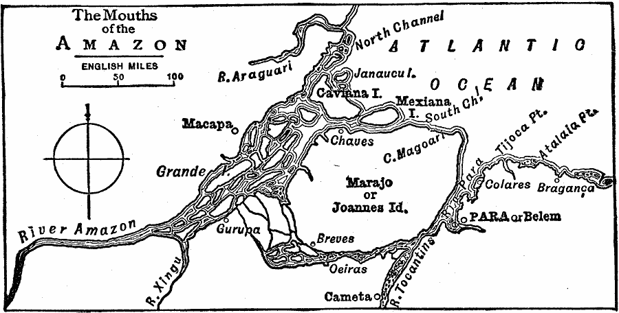
Description: A map of the mouths of the Amazon River from 1919 showing the channels and distributaries, islands, and port cities. The map shows the islands of Marajo or Joannes, Janaucul, Caviana, Mexiana, and Grande, the settlements of Para or Belem, Macapa, Gurupa, Breves, Oeiras, Chaves, Colares, Braganca, and Cameta, the rivers Araguari, Xingu, Tocantins, and Rio Para, and the Cape Magoari, Tijoca Point, and Atalaia Point.
Place Names: Brazil, Macapa, �Para, �Amazon Rive
ISO Topic Categories: inlandWaters,
location
Keywords: Mouths of the Amazon River, physical, physical features, inlandWaters,
location, Unknown, 1919
Source: Charles Morris, Winston's Cumulative Encyclopedia Vol 1 (Philadelphia, PA: The John C. Winston Company, 1919) tab 4
Map Credit: Courtesy the private collection of Roy Winkelman |
|