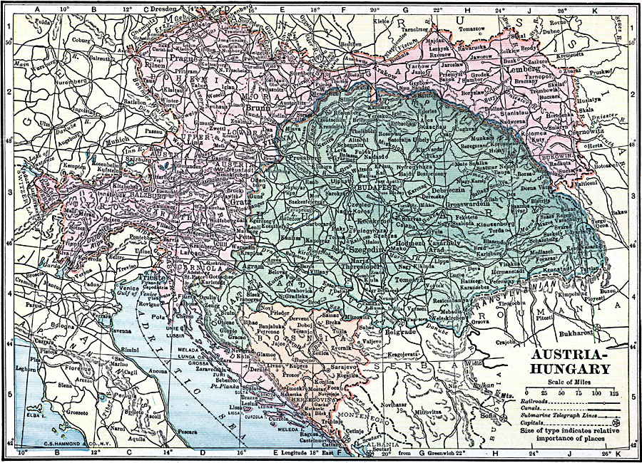
Description: A map of Austria–Hungary in 1919, showing cities, submarine telegraph lines, canals, and railroads.
Place Names: Austria-Hungary, Austria-Hunga
ISO Topic Categories: boundaries,
location,
oceans,
inlandWaters,
transportation
Keywords: Austria-Hungary, physical, �political, �transportation, physical features, country borders,
major political subdivisions, railroads, boundaries,
location,
oceans,
inlandWaters,
transportation, Unknown, 1919
Source: Charles Morris, Winston's Cumulative Encyclopedia Vol 1 (Philadelphia, PA: The John C. Winston Company, 1919) tab 12
Map Credit: Courtesy the private collection of Roy Winkelman |
|