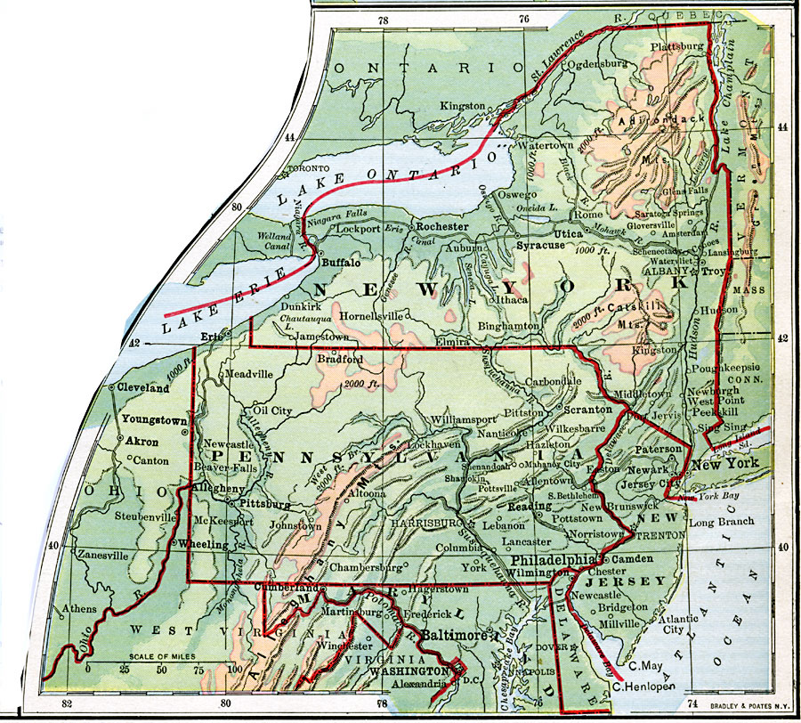
Description: The northeastern region of the United States.
Place Names: Middle Atlantic States, Pennsylvania, �Ohio, �West Virginia, �Virginia, �Maryland, �Delaware, �New Jersey, �New York, �Connecticut, �Massachusetts, �Vermont, �Mid-Atlantic States, �Middle Atlantic States, �New England, �New York Stat
ISO Topic Categories: boundaries,
inlandWaters,
location,
oceans
Keywords: Northeast Region, physical, �political, physical features,
topographical, major political subdivisions,
country borders, boundaries,
inlandWaters,
location,
oceans, Unknown, 1901
Source: Jacques W. Redway, Natural Advanced Geography (New York, NY: American Book Company, 1901) 67
Map Credit: Courtesy the private collection of Roy Winkelman |
|