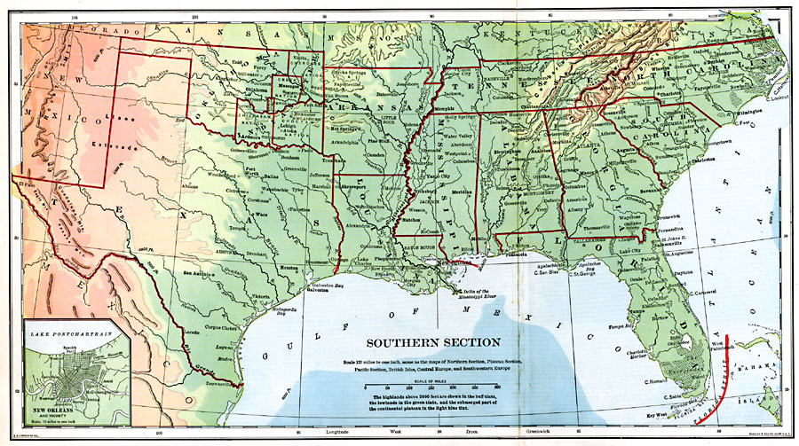
Description: The southern section of the United States.
Place Names: Southern States, Florida, �Georgia, �South Carolina, �North Carolina, �Virginia, �Kentucky, �Tennessee, �Alabama, �Mississippi, �Louisiana, �Arkansas, �Missouri, �Kansas, �Oklahoma, �Indian Territory, �Texas, �Colorado, �New Mexico, �The South, �Southern United States,
ISO Topic Categories: boundaries,
inlandWaters,
location,
oceans
Keywords: The Southern United States, physical, �political, physical features, country borders,
major political subdivisions, boundaries,
inlandWaters,
location,
oceans, Unknown, 1901
Source: Jacques W. Redway, Natural Advanced Geography (New York, NY: American Book Company, 1901) 78-79
Map Credit: Courtesy the private collection of Roy Winkelman |
|