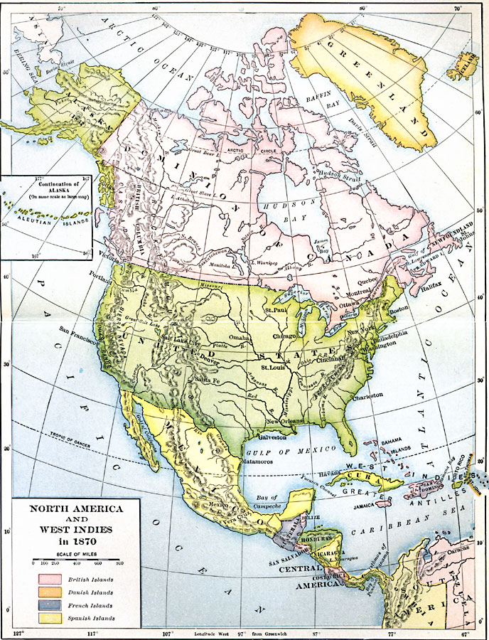
Description: A map of North America, Central America, and the Caribbean to St. Thomas and St. John islands in 1870 showing political boundaries at the time, mountain systems and terrain, rivers, and major cities. The map is color–coded to show the European possessions in the West Indies of British islands, Danish islands, French islands, and Spanish islands. An inset map shows the continuation of the Alaskan Aleutian Islands.
Place Names: A Complete Map of North America, Mexico, �Cuba, �Canada, �Bahamas, �United States, �Honduras, �Nicaragua, �Costa Rica, �Panam
ISO Topic Categories: boundaries,
location,
oceans,
inlandWaters
Keywords: North America and West Indies, physical, �political, physical features, country borders, boundaries,
location,
oceans,
inlandWaters, Unknown, 1870
Source: Albert Bushnell Hart, LL.D., The American Nation Vol. 22 (New York, NY: Harper and Brothers, 1907) 159
Map Credit: Courtesy the private collection of Roy Winkelman |
|