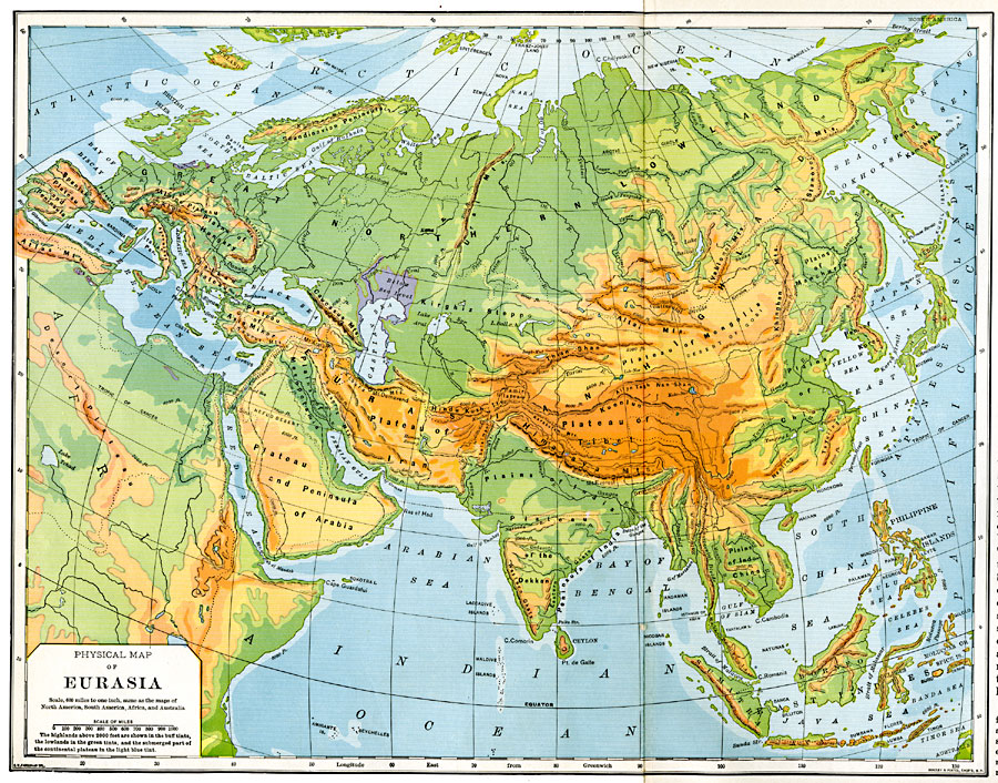
Description: A geophysical map of Eurasia from 1901 showing general elevations of landforms and submerges continental plateau. The map is color–coded to show highlands above 2000 feet in buff tints, lowlands in green tints, lands below sea level in purple, and the submerges part of the continental plateau in light blue. The map shows mountain systems, plateaus, plains, lowlands, deserts, river systems, islands, and coastal features of the region.
Place Names: Regional EurAsia, Great Northern Lowland, �Eurasian Highland, �Plains of Manchuria, �Peninsula of Korea, �Peninsula of Kamchatka, �Kirghiz Steppe, �Plains of Hungary, �Plateau and Peninsula of Arabia, �Plateau of Iran, �Plateau of Asia Minor, �Spanish Plateau and Penins
ISO Topic Categories: physical, �political, kWorldEurasia
Keywords: Physical Map of Eurasia, physical, �political, physical features, physical, �political, kWorldEurasia, Unknown, 1901
Source: Jacques W. Redway, Natural Advanced Geography (New York, New York: American Book Company, 1901) 112-113
Map Credit: Courtesy the private collection of Roy Winkelman |
|