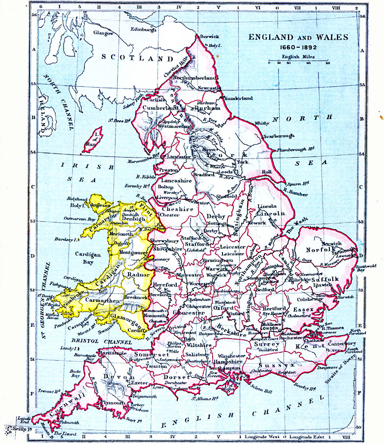
Description: A map of England and Wales from the period between the English Restoration established by the Declaration of Breda (Charles II, 1660) and 1892. The map is color&ndas;coded to show the English counties and the Welsh counties. Major cities, rivers, and coastal features are shown.
Place Names: United Kingdom, London, �Middlesex, �Canterbury, �Hampshire, �Plymouth, �Somerset, �Wiltshire, �Birmingham, �Manchester, �Chester, �Glasgow, �Edinburgh, �Edinborough, �York, �Durham, �Derby, �Oxford, �Glouceste
ISO Topic Categories: inlandWaters,
location,
oceans,
boundaries
Keywords: England and Wales, physical, �political, �england and wales 1660-1892, physical features, major political subdivisions,
country borders, inlandWaters,
location,
oceans,
boundaries, Unknown, 1660–1892
Source: Samuel Rawson Gardiner D.C.L., L.L.D., School Atlas of English History (London, England: Longmans, Green, and Co.1, 1914) 32
Map Credit: Courtesy the private collection of Roy Winkelman |
|