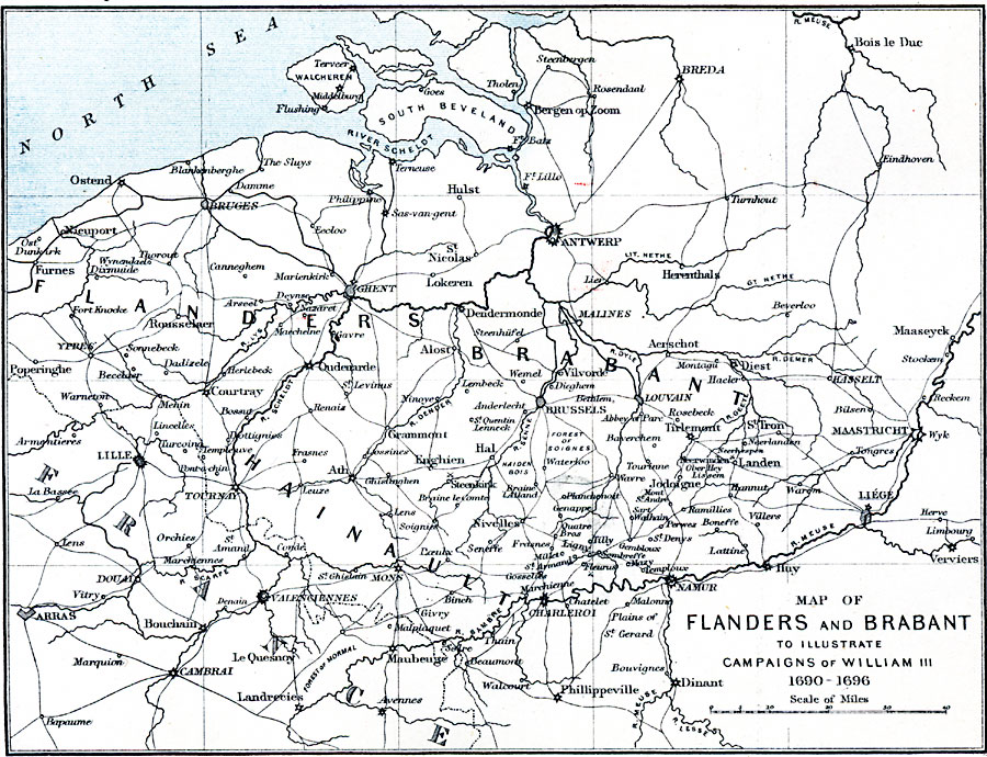
Description: A map of Flanders and Brabant in 1690–1696, the site of campaigns of William III.
Place Names: Low Countries, Antwerp, �Dinant, �Verviers, �Cambrai, �Arras, �Nieuport, �Ostend, �Hulst, �Breda, �Liege, �Bergen op Zoo
ISO Topic Categories: inlandWaters,
location,
oceans,
transportation
Keywords: Flanders and Brabant, physical, �political, �transportation, �map of flanders and brabant in france and belgium to illustrate campaigns of william iii 1690-1696, physical features, roads, inlandWaters,
location,
oceans,
transportation, Unknown, 1690–1696
Source: Samuel Rawson Gardiner D.C.L., L.L.D., School Atlas of English History (London, England: Longmans, Green, and Co., 1914) 38
Map Credit: Courtesy the private collection of Roy Winkelman |
|