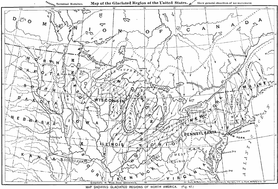
Description: The glaciated region of the United States.
Place Names: Miscellaneous United States, Illinois, �Indiana, �Iowa, �Kansas, �Kentucky, �Maine, �Michigan, �Minnesota, �Missouri, �Nebraska, �New York, �North Carolina, �North Dakota, �Pennsylvania, �South Dakota,
ISO Topic Categories: oceans,
location,
inlandWaters,
boundaries
Keywords: The Glaciated Region of the United States, borders, �hydrological, �physical, �water depths, kGlacial, physical features, water depths, oceans,
location,
inlandWaters,
boundaries, Unknown, 1901
Source: James A. Bowen, Grammar School Geography (Chicago, IL: Rand, McNally & Company, 1901) 25
Map Credit: Courtesy the private collection of Roy Winkelman |
|