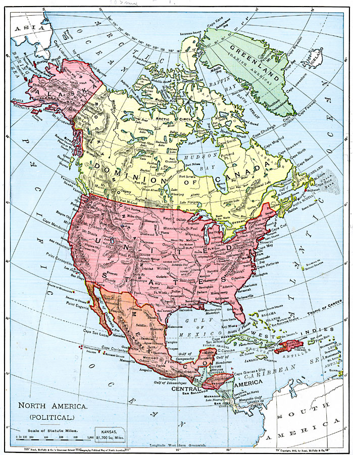
Description: A map from 1901 of North America, Central America, the Caribbean, and Greenland (Danish America) showing the political boundaries at the time. The map shows capitals and major cities, mountain systems, lakes, rivers, coastal features, and islands. An outline map of Kansas at the same map scale shows comparative area size.
Place Names: A Complete Map of North America, Bahamas, �Canada, �Cuba, �Mexico, �United State
ISO Topic Categories: oceans,
location,
inlandWaters
Keywords: North America, country borders, �physical, �topographical, kComparativeArea, topographical,
physical features, country borders, oceans,
location,
inlandWaters, Unknown, 1901
Source: James A. Bowen, Grammar School Geography (Chicago, IL: Rand, McNally & Company, 1901) 67
Map Credit: Courtesy the private collection of Roy Winkelman |
|