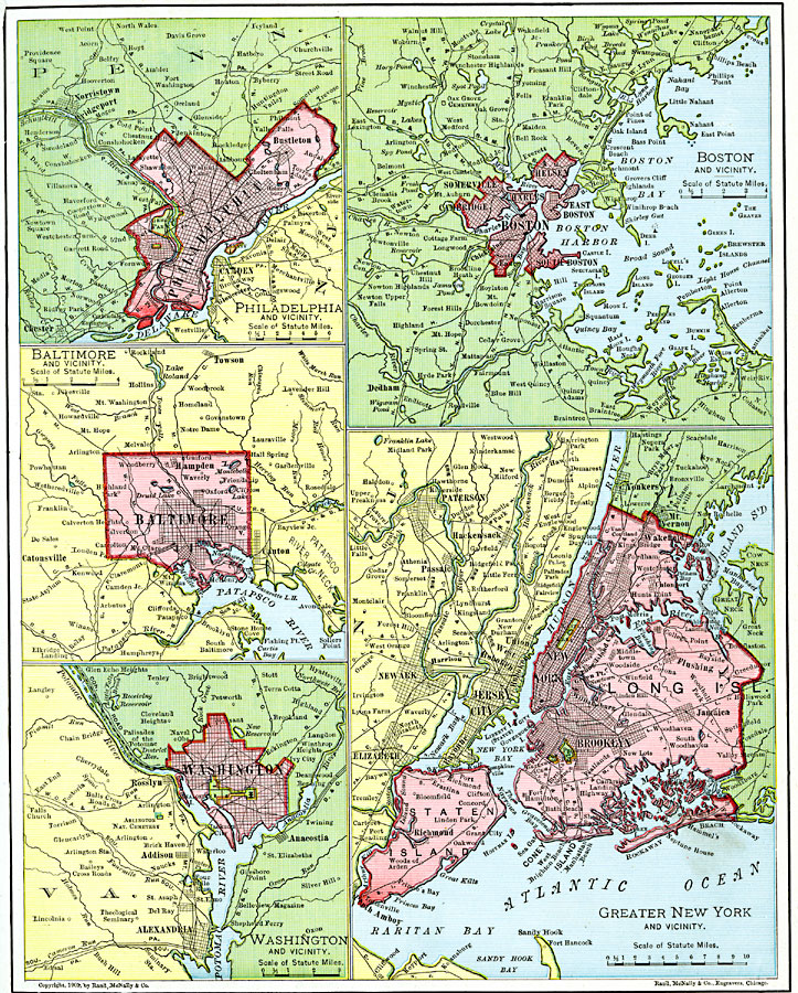
Description: Location of sea ports along the Atlantic coast of the United States.
Place Names: Northeast States, Baltimore, �Boston, �Long Island, �New York, �Washington D.C., �Eastern Seaboard, �Mid-Atlantic States, �New Englan
ISO Topic Categories: oceans,
location,
inlandWaters
Keywords: Atlantic Seaports, borders, �physical, �transportation, �water routes, physical features, country borders, water routes, rainfall, oceans,
location,
inlandWaters, Unknown, 1901
Source: James A. Bowen, Grammar School Geography (Chicago, IL: Rand, McNally & Company, 1901) 85
Map Credit: Courtesy the private collection of Roy Winkelman |
|