mapsMaps ETC Site map
 Maps ETC > United States > New England States > New England States, 1901
Site Map 

New England States, 1901

New England States


Title: New England States
Projection: Unknown,
Source Bounding Coordinates:
W: -74 E: -67 N: 47 S: 41

Main Map Page
Zoomify Version
B/W PDF Version
Color PDF Version
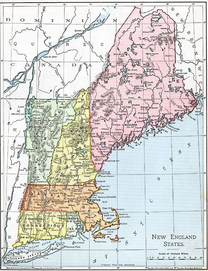
Description: The New England States.
Place Names: New England States, Boston, New York, New Englan
ISO Topic Categories: oceans, location, inlandWaters
Keywords: New England States, borders, physical, country borders, oceans, location, inlandWaters, Unknown, 1901
Source: James A. Bowen, Grammar School Geography (Chicago, IL: Rand, McNally & Company, 1901) 105
Map Credit: Courtesy the private collection of Roy Winkelman
SearchLicensePDF HelpGIS Help Google Earth Help Zoomify Help

 Maps ETC > United States > New England States > New England States, 1901
Site Map