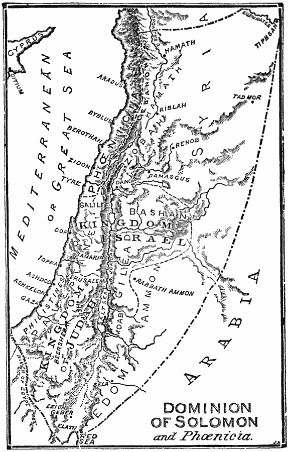
Description: A map of Phoenicia and the Dominion of Solomon (971–931 BC), including the Kingdom of Israel and Kingdom of Judah, Syria, Palestine, Edom, Moab, Gilead, Ammon, Galilee, Bashan, Zobah, Hamath, and Lebanon. The map shows important cities, ports, and trade centers of the time, as well as rivers, mountains, and coastal features of the region.
Place Names: Palestine, Arabia, �Israe
ISO Topic Categories: boundaries,
location,
oceans,
inlandWaters
Keywords: Dominion of Solomon and Phoenicia, physical, �political, physical features, local jurisdictions, boundaries,
location,
oceans,
inlandWaters, 971–931 BC
Source: William Swinton, Outlines of the World's History (New York, NY: Ivison, Blakeman, and Company, 1874) 39
Map Credit: Courtesy the private collection of Roy Winkelman |
|