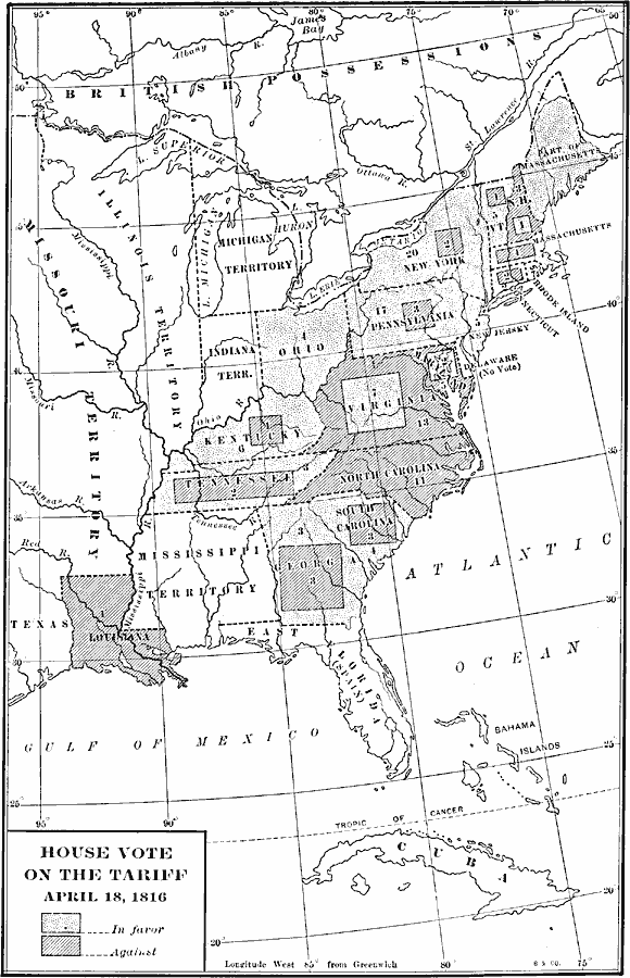
Description: A map of the United States showing the results of the House vote on the Dallas Tariff Bill of 1816. The map is keyed to show the areas of votes for or against the bill. The tariff was put in place after the War of 1812 with Britain in order to off–set the lower prices of British stockpiled goods.
Place Names: Elections, Connecticut, �Florida, �Georgia, �Illinois Territory, �Indiana Territory, �Kentucky, �Louisiana, �Maryland, �Michigan Territory, �Mississippi Territory, �New York, �North Carolina, �Ohio, �Pennsylvania, �South Carolina, �Tennessee, �Virginia, �House Vo
ISO Topic Categories: oceans,
location,
inlandWaters
Keywords: House Vote on the Tariff, borders, �historical, historical event, oceans,
location,
inlandWaters, Unknown, April 18, 1816
Source: Dixon Ryan Fox, Harper's Atlas of American History (New York, NY: Harper & Brothers Publishers , 1920) 31
Map Credit: Courtesy the private collection of Roy Winkelman |
|