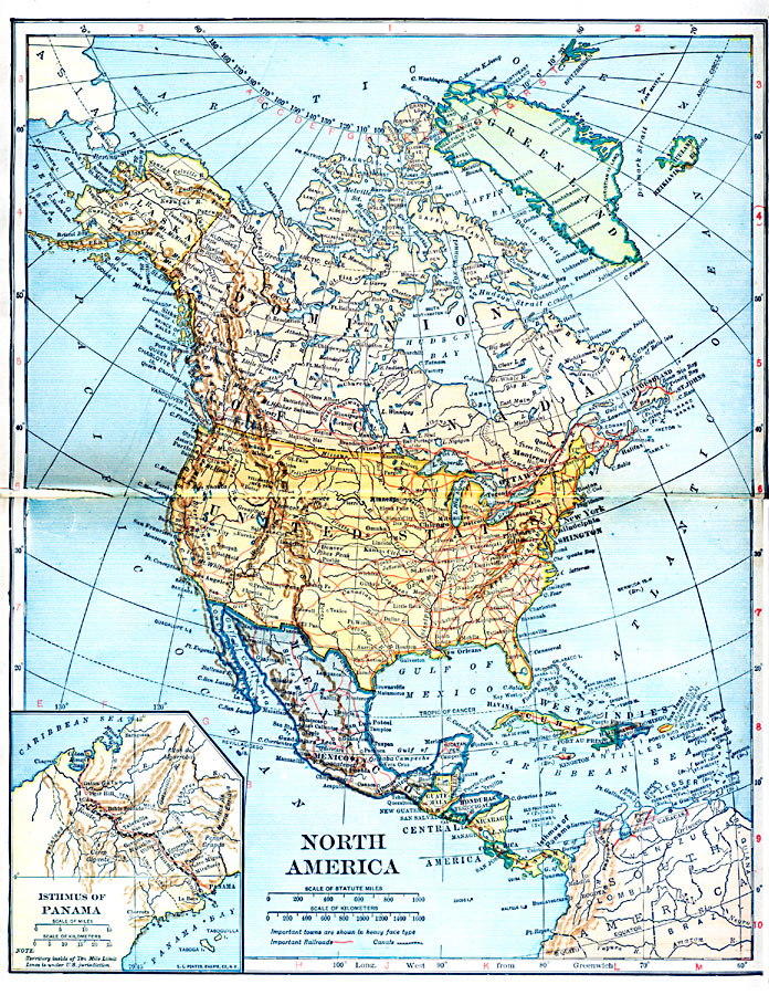
Description: A map from 1921 of North America, Central America, Greenland, and the Caribbean showing political borders, capitals and major cities, railroads, canals, mountain systems, lakes, rivers, islands, and coastal features of the region. An inset map details the Panama Canal Zone, with the Ten Mile Limit territory under United States jurisdiction.
Place Names: A Complete Map of North America, Bahamas, �Canada, �Central America, �Cuba, �Greenland, �Iceland, �Mexico, �United State
ISO Topic Categories: oceans,
location,
inlandWaters
Keywords: North America, borders, �canals, �physical, �railroads, �transportation, �water routes, country borders, railroads,
water routes, oceans,
location,
inlandWaters, Unknown, 1921
Source: L.L. Poates, Poates Complete Atlas of the World (New York, NY: Poates Corporation , 1921) 6-7
Map Credit: Courtesy the private collection of Roy Winkelman |
|