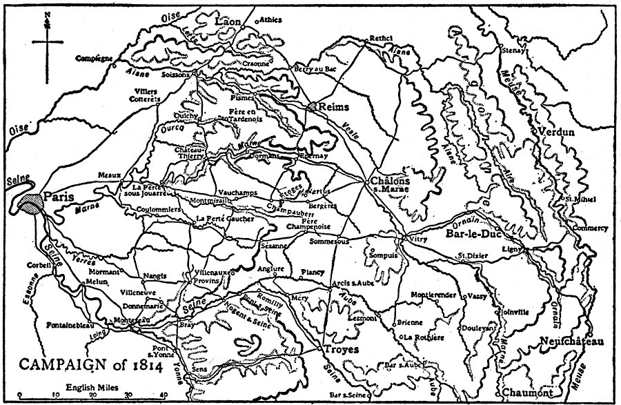
Description: A map of France at the end of the War of the Sixth Coalition (1812–1814) between the French Empire under Napoleon Bonaparte and the coalition forces of Austria, Prussia, Russia, Sweden, United Kingdom, and several German States, resulting in the capture of Paris and the exile of Napoleon to Elba. The map shows important cities, campaign routes, rivers, and terrain features of the region.
Place Names: France, Franc
ISO Topic Categories: location,
inlandWaters,
intelligenceMilitary,
transportation
Keywords: Napoleon's Campaign, physical, �transportation, kNapoleonBonaparte, physical features, roads, location,
inlandWaters,
intelligenceMilitary,
transportation, Unknown, 1814
Source: The Encyclopedia Britannica, The Encyclopedia Britannica Vol 19 (New York, NY: The Encyclopedia Britannica Company, 1911) 232
Map Credit: Courtesy the private collection of Roy Winkelman |
|