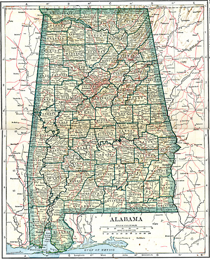
Description: A map of Alabama from 1919 showing the State capital of Montgomery, counties and county seats, major cities and towns, railroads, rivers, terrain features, and Mobil Bay.
Place Names: Alabama, Anniston, �Besseman, �Birmingham, �Eufaula, �Florence, �Huntsville, �Mobile, �Montgomery, �Selma, �Tuscaloos
ISO Topic Categories: oceans,
location,
inlandWaters,
transportation
Keywords: Alabama, borders, �physical, �railroads, �transportation, �country borders,
county borders, railroads, oceans,
location,
inlandWaters,
transportation, Unknown, 1919
Source: L.L. Poates, Poates Complete Atlas of the World (New York, NY: Poates Corporation , 1921) 28-29
Map Credit: Courtesy the private collection of Roy Winkelman |
|