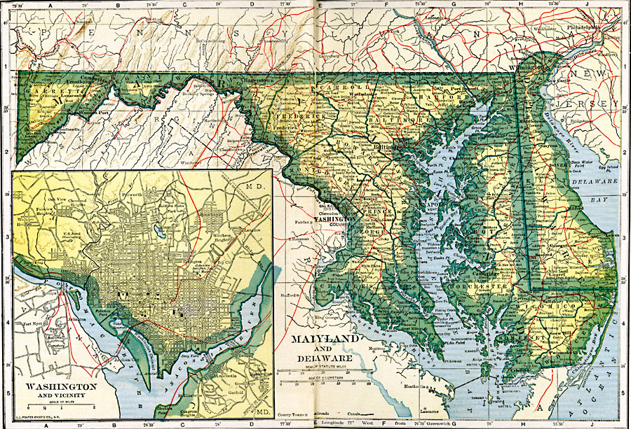
Description: Maryland and Delaware.
Place Names: Middle Atlantic States, Annapolis, �Baltimore, �Cambridge, �Dover, �Frederick, �Georgetown, �Somerset, �Wilmington, �Middle Atlantic States, �Mid-Atlantic State
ISO Topic Categories: oceans,
location,
inlandWaters,
transportation
Keywords: Maryland and Delaware, borders, �physical, �railroads, �transportation, �country borders,
county borders, railroads, oceans,
location,
inlandWaters,
transportation, Unknown, 1919
Source: L.L. Poates, Poates Complete Atlas of the World (New York, NY: Poates Corporation , 1921) 64-65
Map Credit: Courtesy the private collection of Roy Winkelman |
|