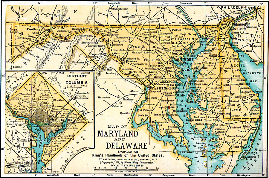
Description: Maryland, Delaware, and Washington D.C.
Place Names: Middle Atlantic States, Maryland, �Delaware, �Washington D.C., �Mid-Atlantic States, �Middle Atlantic State
ISO Topic Categories: transportation,
location,
oceans,
inlandWaters,
boundaries
Keywords: Maryland, Delaware, and Washington D.C., physical, �political, �transportation, physical features, major political subdivisions,
local jurisdictions, railroads, transportation,
location,
oceans,
inlandWaters,
boundaries, Unknown, 1891
Source: Moses King, King's Handbook of the United States (Buffalo, NY: Moses King Corporation, 1891) 468
Map Credit: Courtesy the private collection of Roy Winkelman |
|