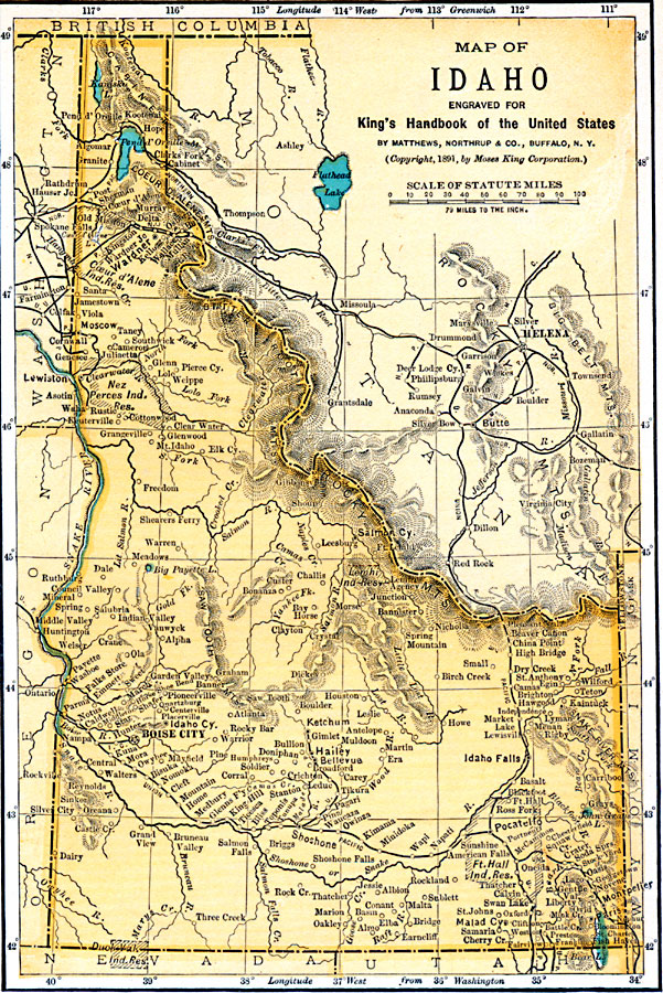
Description: A map from 1891 of Idaho showing the capital of Boise City, towns, reservation boundaries, railroads, mountain systems, lakes, and rivers.
Place Names: Idaho, Boise City, �Caldwell, �Lewiston, �Moscow, �Nampa, �Pocatello, �Taylors Bridg
ISO Topic Categories: boundaries,
oceans,
location,
inlandWaters,
transportation
Keywords: Idaho, political, �physical, physical features, country borders,
major political subdivisions, boundaries,
oceans,
location,
inlandWaters,
transportation, Unknown, 1891
Source: Moses King, King's Handbook of the United States (Buffalo, NY: Moses King Corporation, 1891) 471
Map Credit: Courtesy the private collection of Roy Winkelman |
|