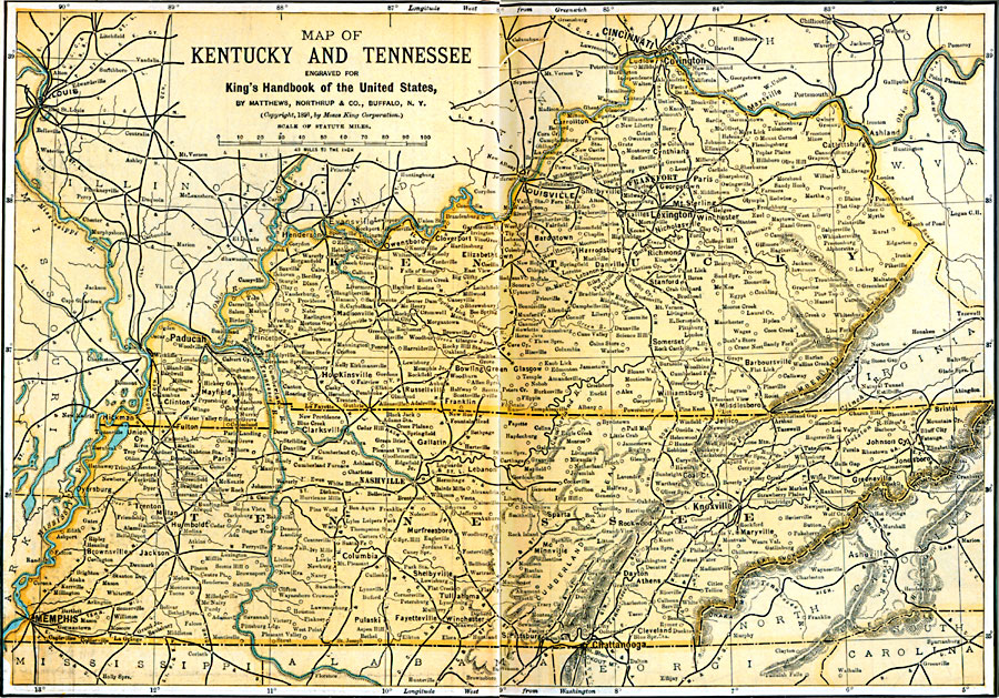
Description: Kentucky and Tennessee in 1891.
Place Names: Southern States, Kentucky, �Tennessee, �Lexington, �Frankfort, �Knoxville, �Nashville, �Louisville,�Memphi
ISO Topic Categories: transportation,
location,
inlandWaters,
boundaries
Keywords: Kentucky and Tennessee, physical, �political, �transportation, physical features, major political subdivisions, railroads, transportation,
location,
inlandWaters,
boundaries, Unknown, 1891
Source: Moses King, King's Handbook of the United States (Buffalo, NY: Moses King Corporation, 1891) 476
Map Credit: Courtesy the private collection of Roy Winkelman |
|