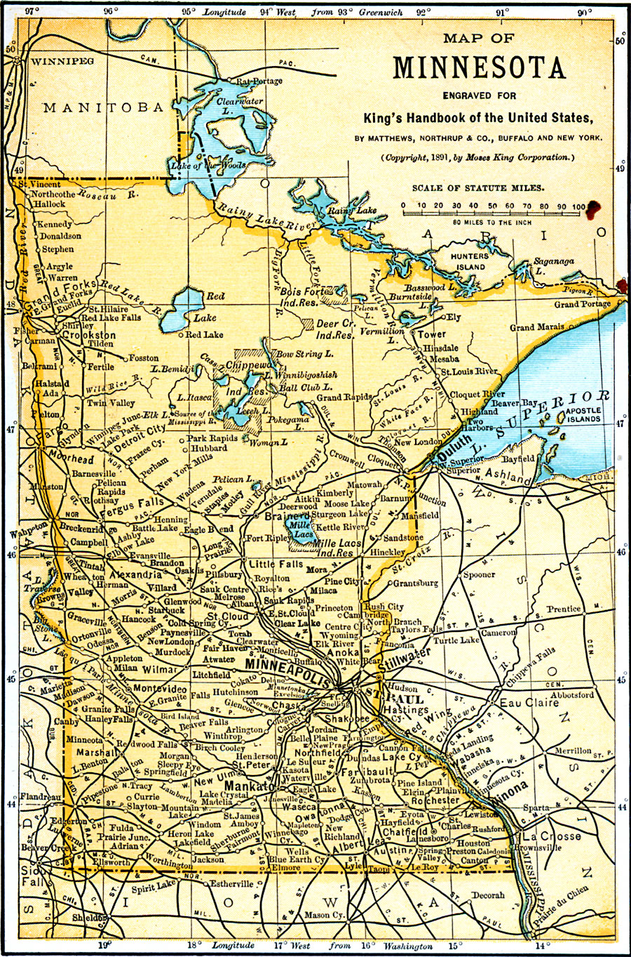
Description: A map from 1891 of Minnesota showing the capital of St. Paul, major cities and towns, Indian reservations, railroads, lakes, and rivers, including the headwaters of the Mississippi River.
Place Names: Minnesota, Minneapolis, �St. Paul, �Mankato, �Winona, �Anoka, �Faribault, �Red Wing, �Rochester, �St. Cloud, �Worthingto
ISO Topic Categories: transportation,
inlandWaters,
location,
boundaries
Keywords: Minnesota, physical, �political, �transportation, kNativeAmerican, physical features, major political subdivisions,
country borders, railroads, transportation,
inlandWaters,
location,
boundaries, Unknown, 1891
Source: Moses King, King's Handbook of the United States (Buffalo, NY: Moses King Corporation, 1891) 481
Map Credit: Courtesy the private collection of Roy Winkelman |
|