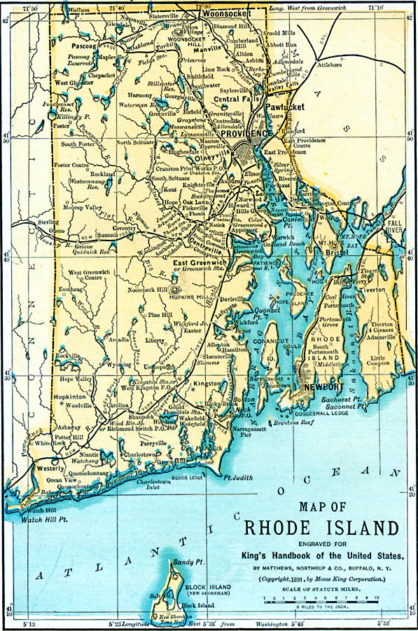
Description: A map from 1891 of Rhode Island showing the capital at Providence, principal cities, towns, and ports, railroads, terrain, lakes, rivers, and coastal features.
Place Names: Rhode Island, Providence, �Woonsocket, �Pawtucket, �Greenwich, �Bristol, �Newport, �Warren, �Warwic
ISO Topic Categories: boundaries,
transportation,
location,
oceans,
inlandWaters
Keywords: Rhode Island, political, �physical, �transportation, physical features, major political subdivisions, railroads, boundaries,
transportation,
location,
oceans,
inlandWaters, Unknown, 1891
Source: Moses King, King's Handbook of the United States (Buffalo, NY: Moses King Corporation, 1891) 498
Map Credit: Courtesy the private collection of Roy Winkelman |
|