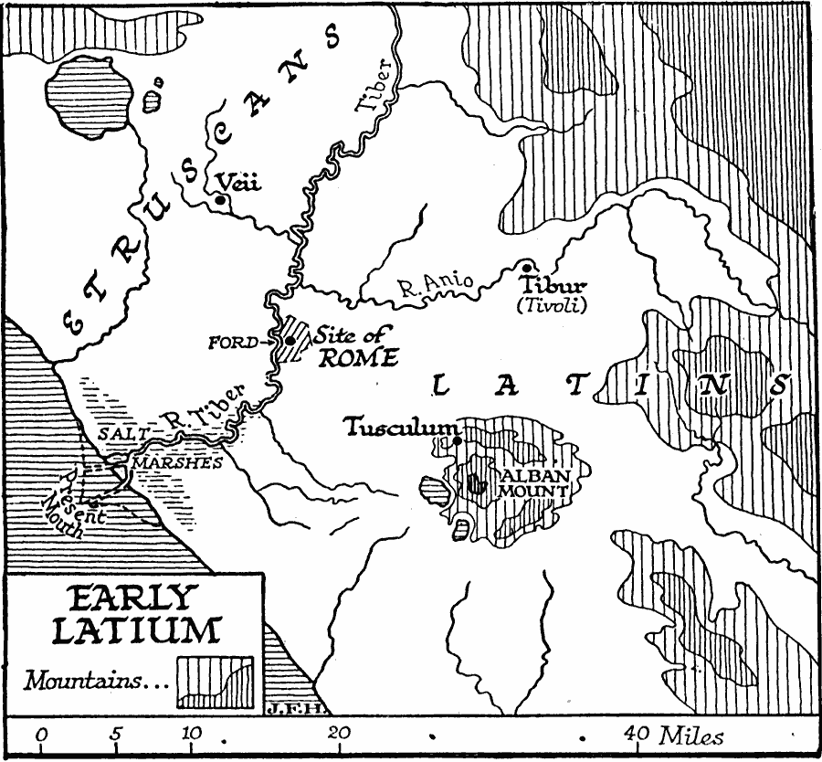
Description: A map showing early Latium, and the site of Rome. This map shows the territories of the Etruscans to the north of the River Tiber, and Latins to the south, the cities of Veii, Tibur (Tivoli) and Tusculum, mountains, rivers, salt marshes, the ford into Rome and the present day mouth of the River Tiber.
Place Names: Italy, Rome, �Veii, �Tibu
ISO Topic Categories: inlandWaters,
location,
oceans
Keywords: Early Latium, political, �physical, kAncientRome, physical features, local jurisdictions, inlandWaters,
location,
oceans, Unknown, 338 B.C.
Source: H. G. Wells, The Outline of History (New York, NY: The Macmillan Company, 1921)
Map Credit: Courtesy the private collection of Roy Winkelman |
|