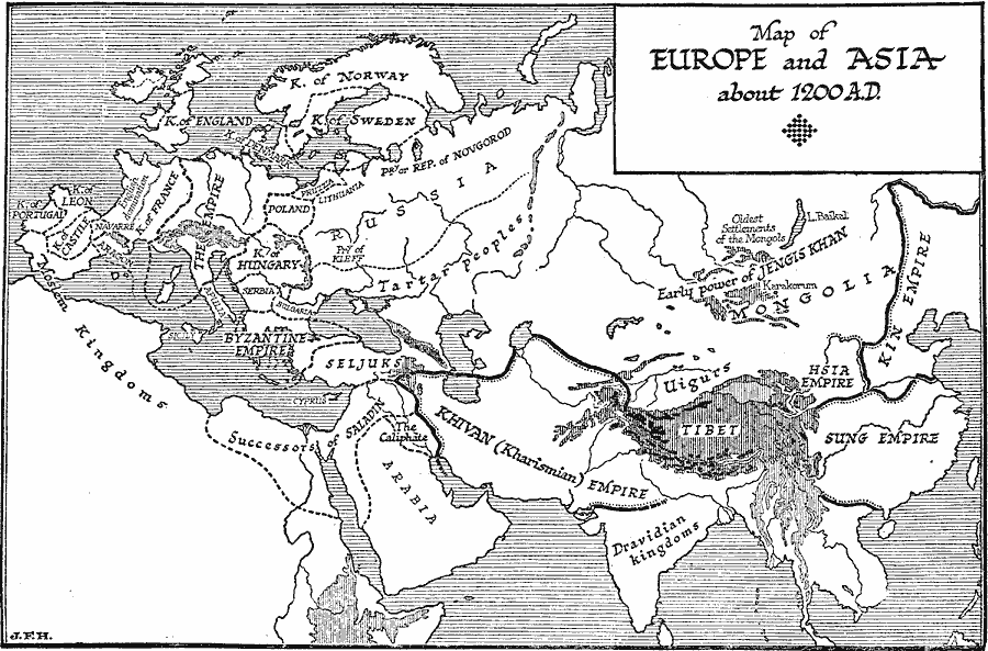
Description: A map of Europe and Asia around AD 1200 showing the kingdoms and empires of the region at the time. This map shows the Asian Kin Empire, Sung Empire, Dravidian kingdoms, Hsia Empire, Khivan (Kharismian) Empire, territories of the Uigurs and Tartar peoples, and the area of early power of Jengis Khan (with the oldest settlements of the Mongols). The map also shows the Moslem kingdoms in northern Africa and the southern Iberian Peninsula, the territories of the Seljuks, Caliphate, and Successors of Saladin in Asia Minor, Arabia, and northeastern Africa, and the European Byzantine Empire, Bulgaria, Serbia, Kingdom of Hungary, Poland, Duchy of Kieff, Republic of Novgorod, Lithuania, Prussia, Kingdom of Sweden, Kingdom of Norway, Kingdom of Denmark, Kingdom of England, Holy Roman Empire, Apulia, Kingdom of France, Navarre, Aragon, Kingdom of Castile, Kingdom of Leon, and the Kingdom of Portugal.
Place Names: Regional EurAsia, Europe, �Asi
ISO Topic Categories: physical, �political, kWorldEurasia, kWorldAfroAsia, kWorldEuroAfrica, kWorldMedSea
Keywords: Kingdoms and Empires of Europe and Asia, physical, �political, physical features, major political subdivisions, physical, �political, kWorldEurasia, kWorldAfroAsia, kWorldEuroAfrica, kWorldMedSea, Unknown, 1200
Source: H. G. Wells, The Outline of History (New York, NY: The Macmillan Company, 1921) 668
Map Credit: Courtesy the private collection of Roy Winkelman |
|