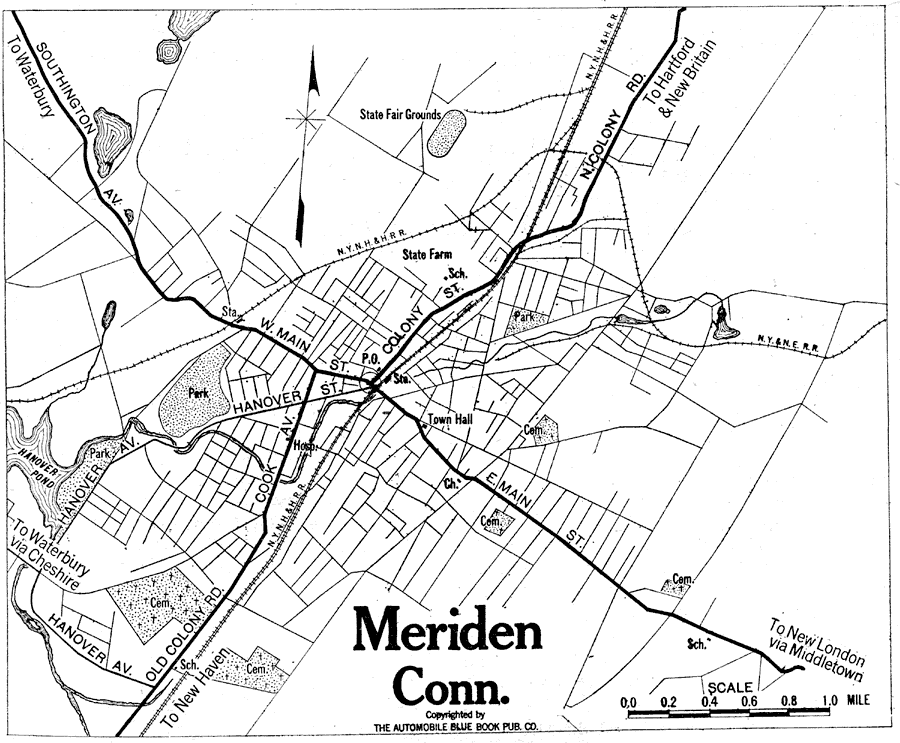
Description: A road map of the vicinity of Meriden Connecticut from the Official Automobile Blue Book (1919), showing the major roads, railroads and stations, parks, and major landmarks of the area.
Place Names: Connecticut, Meride
ISO Topic Categories: location,
inlandWaters,
transportation
Keywords: Meriden, Connecticut, physical, �political, �transportation, kAutomobile, physical features, local jurisdictions, roads,
railroads, location,
inlandWaters,
transportation, Unknown, 1919
Source: The Automobile Blue Book Company, Official Automobile Blue Book 1919 Vol 2 (New York, NY: The Automobile Blue Book Publishing Co., 1919) 311
Map Credit: Courtesy the private collection of Roy Winkelman |
|